 One
One
To strengthen collaborative efforts of mapping agencies and stakeholders in the provision of geospatial data and services.
 Two
Two
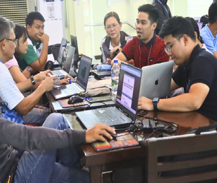
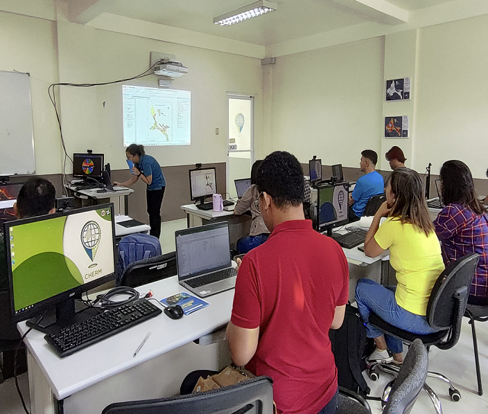
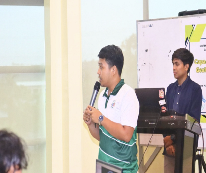
To capacitate LGU's, SUC's, line agencies and other interested individuals/groups on utilization of geospatial data and other derivative products.
 Three
Three
To provide research-based authoritative geospatial data and services in all stages of the Disaster Risk Reduction and Environmental Management cycle, natural resource mapping and other developmental concerns.